
Welcoem to posts!!
in the future - u will be able to do some more stuff here,,,!! like pat catgirl- i mean um yeah... for now u can only see others's posts :c

Hoen Heng (4200m)
Hoen Heng, originally named as Boen Heng is a majestic mountain peak, around 40km from the district headquarters, in the south of district Kulgam. Although this beautiful mountain peak can be viewed afar, but to reach on its top gives us the most thrilling experience of our life. This fascinating cliff got popularity after the unfortunate incident of Fokker-27 plane crash due to some technical difficulties on February 7, 1966 which killed all 37 on-board including some prominent personalities of the Valley.
Route Details
Srinagar to Kulgam
(78km via NH44)
(64 km via NH444)
Kulgam to Sanyadi/Dudkuchan
(Around 28km)
Sanyadi/Dudkuchan to Hoen Heng (non-motorable)
(12kms Aprox.)
Campsite Details
Rampai (2km from Dudkuchan)
Kalkem (5km from Dudkuchan)
Burzepather (7km from Dudk..)
Note: All the above sites are non-motorable, mobile networks fluctuate at 2nd and 3rd site, firewood not available at site no. 3.
Elevation Gain: 1900m
Gradient: Medium
Site coordinates: 33⁰28'47"N
75⁰00'59"E
Trek distance to and fro: 24kmHoen Heng (4200m)
Hoen Heng, originally named as Boen Heng is a majestic mountain peak, around 40km from the district headquarters, in the south of district Kulgam. Although this beautiful mountain peak can be viewed afar, but to reach on its top gives us the most thrilling experience of our life. This fascinating cliff got popularity after the unfortunate incident of Fokker-27 plane crash due to some technical difficulties on February 7, 1966 which killed all 37 on-board including some prominent personalities of the Valley.
Route Details
Srinagar to Kulgam
(78km via NH44)
(64 km via NH444)
Kulgam to Sanyadi/Dudkuchan
(Around 28km)
Sanyadi/Dudkuchan to Hoen Heng (non-motorable)
(12kms Aprox.)
Campsite Details
Rampai (2km from Dudkuchan)
Kalkem (5km from Dudkuchan)
Burzepather (7km from Dudk..)
Note: All the above sites are non-motorable, mobile networks fluctuate at 2nd and 3rd site, firewood not available at site no. 3.
Elevation Gain: 1900m
Gradient: Medium
Site coordinates: 33⁰28'47"N
75⁰00'59"E
Trek distance to and fro: 24km

28 - 4
On 28th November, 2021 while on my routine Sunday Trek, I discovered a grand fossil site on my way to Nunkhul at Kandimarg habitation of village D K Marg at an altitude of around 2356mts
Site coordinates are 33°32'36"N 74°57'10"E
This site is around 25 kms away from District Headquarters Kulgam. Explorers and Researchers are requested to visit this wonderful site to reveal more.
#archeology #archeologysite #archeologysurveyofindia #shotonsonyA7III #fossilwatch #fossiloriginal #natgeo #discovery #fossilhunting #archeologicalmuseum #archeologylife #kashmirfossil
36 - 4
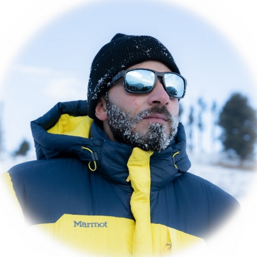
My name is Makeen. As an avid adventurer, I’m always searching for new and exciting experiences. Trekking and exploring have taken me to some of the most beautiful and remote locations in my region, and I’m eager to discover more. Along the way, I have developed a keen interest in foraging and photography, capturing the beauty of nature in all its forms. I also enjoy horseback riding and fishing, relishing the thrill of the chase and the peace of being out in the wild. As much as I love nature, I am deeply concerned about the environment and am doing my best to preserve it. Through my explorations, during my Sunday treks, I have discovered many fossil sites of the Palaeozoic era and have identified several archaeological sites of great potential. I am also committed to promote culture, heritage, and local cuisine in my region. I created this channel on 25 Nov 2020 to share my Adventures. Thank You 😊